Civil
Know what the ground holds before anyone moves earth.
Solesca is not a civil engineering tool. It answers the two questions that come before one: is this ground worth opening, and how much of it holds an array without moving earth.
Trusted by leaders in solar development










What the site work gets back
Four site killers on one map
Slope, wetlands, forest canopy and distance to interconnection, read together instead of across four public sources.
Usable area computed, not assumed
Frames that exceed your racking’s slope limits come off the layout, so the area that holds an array is measured against the ground.
A tighter brief for the civil engineer
A screened site, an array fitted to the existing contour, a clearance figure and a pile count, exported to CAD.
If you decide which ground is worth a grading study
You are asked whether a site works weeks before anyone will pay a civil engineer to find out.
What Solesca takes off the list
- Four sources for four questions
- The first ten minutes of screening a ground-mount site are normally spent across four separate public datasets.
- Site screening
- Cross slope read by eye
- A site can hold an acceptable average grade and still have runs where the ground twists more than a table can take.
- Terrain
- Studies bought on dead sites
- Without a first pass, grading studies get bought on sites that were never going to work.
- The handoff
Site screening
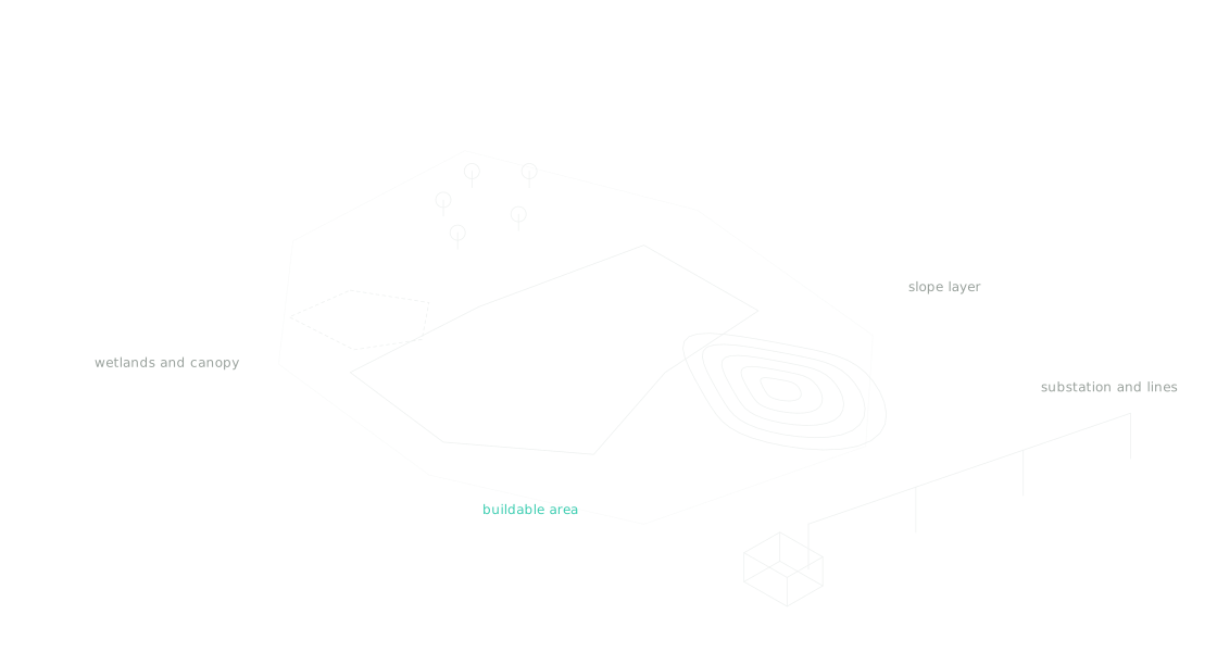
Answer the four screening questions on one map
Slope, wetlands, forest canopy and distance to interconnection are the first questions on a ground-mount site. Solesca reads them together.
- Slope custom-derived from USGS digital elevation models, shaded as it steepens, with a range slider set to the grade your racking tolerates
- Wetlands from the U.S. Fish and Wildlife Service; forest canopy height with 2020 and 2000 coverage and the change between them
- Substations and transmission lines from the Homeland Infrastructure Foundation-Level Data, filtered by voltage and distance. United States coverage, except canopy height, which is global
Terrain
Fit the array to the ground as found
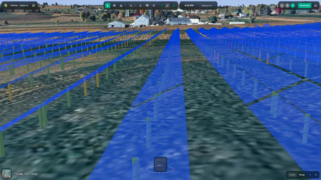
Single-axis trackers and fixed-tilt tables are placed on bare-earth elevation rather than an average plane, every frame held inside the along- and across-slope tolerances your racking vendor specifies.
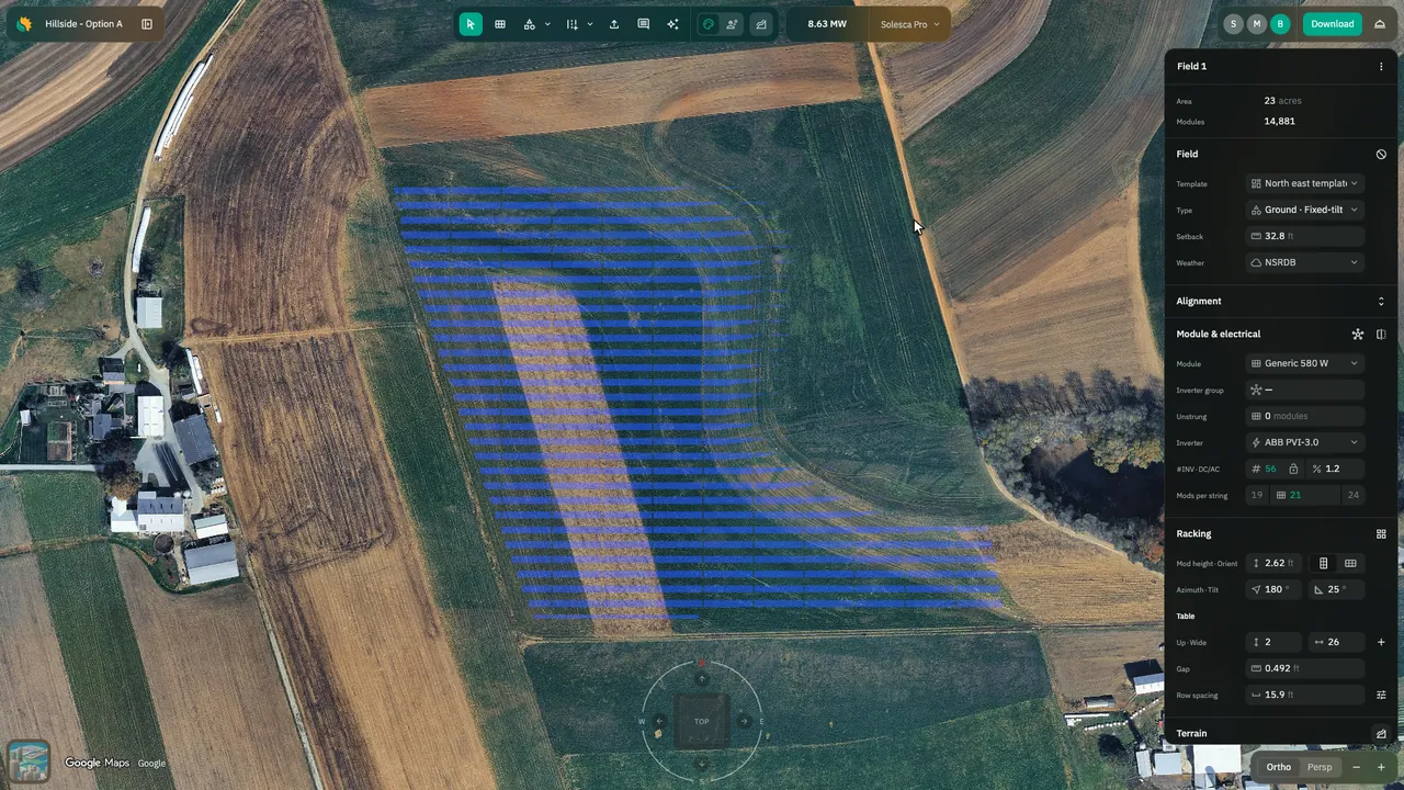
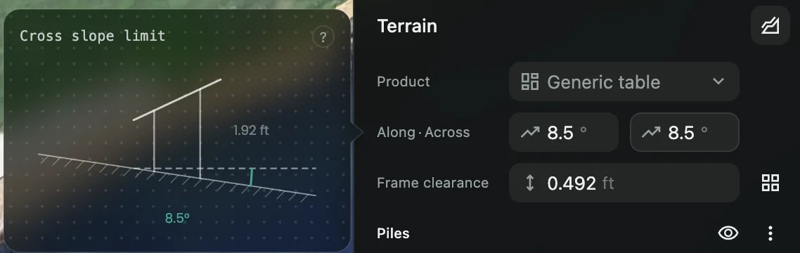
The field from the hero, set down on the ground as found. Your along- and across-slope limits sit in the terrain settings, bottom right.
- Frames that exceed the tolerances come off the layout automatically
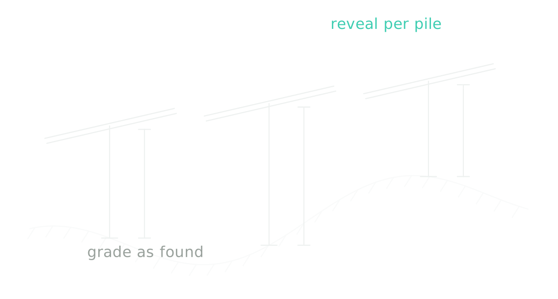
- Pile reveals, frame clearance and pile count reported for the result
- Terrain is an add-on to a Design License or an Engineering License seat
The boundary
What Solesca does not do, stated plainly
It does not grade a site, model cut and fill, produce a grading design, or estimate earthwork volumes.
Not in Solesca
No stormwater, drainage or access-road design
No geotechnical analysis, and no embedment depth; Solesca reports reveals
Where a civil engineer starts
A project whose engineering or economics turn on earthwork still needs a civil tool and a civil engineer
The handoff
Hand off at the moment earthwork becomes the question
Up to that point Solesca gives you a more specific brief than a civil engineer usually receives, and it exports to CAD.
- A screened site, an array fitted to the existing contour, a clearance figure and a pile count
- Fewer grading studies bought on sites that were never going to work, and better-scoped ones on the sites that will
- Unlimited projects, so narrowing the list costs time rather than budget
How it runs, from parcel to civil handoff
- 01
Screen
Trace the parcel and read slope, wetlands, canopy and interconnection distance on one map.
- 02
Set limits
Enter your racking’s along- and across-slope tolerances.
- 03
Fit
Place trackers or fixed-tilt tables on the ground as found, with the frames it refuses removed.
- 04
Hand off
Export to CAD with clearances and pile count for the civil engineer.
The detail, if you want it.
The long answers, for the reader who wants them.
Which site questions can Solesca answer on its own?
Four, on one map. Slope is custom-derived from USGS digital elevation models and shades the ground from green through yellow to red as it steepens, with a range slider so you can set the grade your racking tolerates. Wetlands come from the U.S. Fish and Wildlife Service and sharpen as you zoom in. Forest canopy height carries 2020 and 2000 coverage plus the change between them. Substations and transmission lines come from the Homeland Infrastructure Foundation-Level Data, filtered by voltage and by distance from the site.
Those are the four questions asked in the first ten minutes of screening a ground-mount site, and they are normally answered across four separate public sources. Coverage is United States only for slope, wetlands, substations and transmission; canopy height is global.
How much of a sloping site holds an array as found?
Solesca places racking — single-axis trackers and fixed-tilt tables alike — on the terrain as it falls rather than on an average plane, holds every frame inside the along- and across-slope tolerances your racking vendor specifies, and reports the pile reveals, clearances and pile count that result. Frames that exceed the tolerances come off the layout automatically, so the usable area is computed against the ground rather than assumed from it.
Cross slope is the constraint that decides this, and it is the one hardest to eyeball. A site can hold a perfectly acceptable average grade and still have runs where the ground twists more than a table can take. Naming the limit turns that from a site-visit discovery into a layout constraint.
Why answer the question before the grading study?
Because on most C&I and community solar ground-mount projects, how much of the site works without moving earth, and where, is the question that decides whether the project is worth pricing at all — and it is usually asked weeks before anyone is willing to pay for a grading study.
Screening is unlimited, so narrowing the list before the expensive work starts costs time rather than budget.
Does Solesca model grading or cut and fill?
No. Solesca fits racking to the ground as found. It does not move earth, produce a grading design, or estimate earthwork volumes; a project whose engineering turns on earthwork still needs a civil tool.
What does Solesca do with sloping terrain?
It places frames — trackers and fixed-tilt tables — on bare-earth elevation rather than on an average plane, holds them inside the along- and across-slope tolerances you set for your racking, removes the frames that exceed them, and reports the resulting pile reveals, frame clearance and pile count.
Where does the slope data come from?
Slope is custom-derived from USGS digital elevation models. Wetlands come from the U.S. Fish and Wildlife Service, and substations and transmission lines from the Homeland Infrastructure Foundation-Level Data. Coverage is United States only; forest canopy height is global.
Is terrain included in a license?
Terrain is an add-on rather than a tier, and can be attached to a Design License or an Engineering License seat.
Bring a site you lost to the grading
The useful test is a project you priced flat and then lost when the earthwork came in, or one you passed on without modeling. Set your racking's slope limits and see what the ground holds as found. Thirty minutes with our U.S.-based engineering team.