Solesca for developers
Screen every site on the list. Defend the one you pick.
Four steps from a parcel to a yield an outside reviewer can re-run.
Trusted by leaders in solar development










From parcel to development review
- 1 of 4
Screen
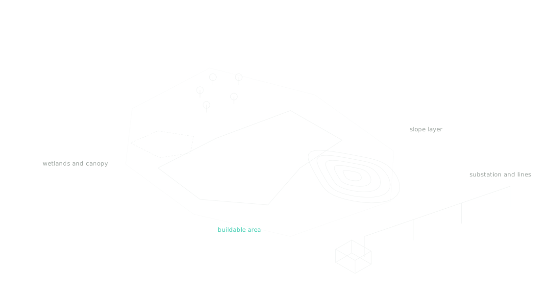
Slope, wetlands, forest canopy and distance to interconnection, read on one map.
USGS, U.S. Fish and Wildlife Service and HIFLD data. U.S. coverage; canopy height is global.
- 2 of 4
Lay out
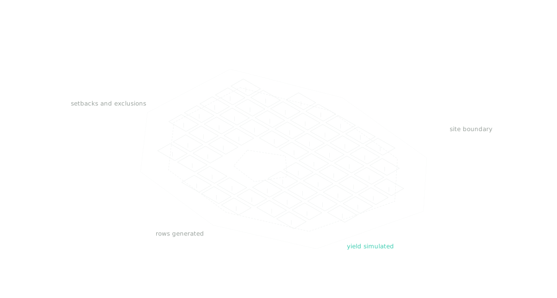
Pick racking and row spacing. The layout is generated inside the setbacks and sized.
- 3 of 4
Fit to the ground
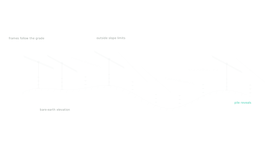
Trackers and fixed tilt sit on 10 meter GPXZ bare-earth data. Frames outside your slope limits drop out.
Not survey grade. Solesca does not grade a site.
- 4 of 4
Simulate and hand off
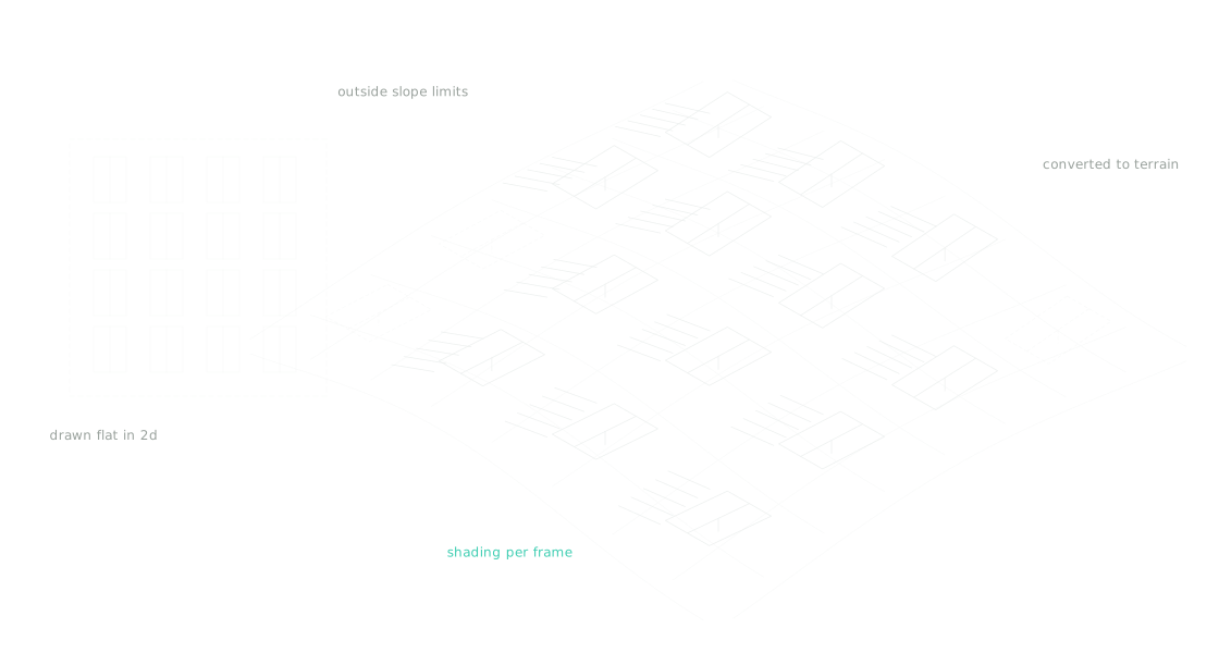
Each frame simulated at its own tilt and azimuth, then exported to PVsyst, CAD and 8760.
A number that survives an outside review
- Within 1% of PVsyst
- Simulation, validated
- NREL
- Cooperative research agreement, CRADA CRD-23-23746
- DNV SolarFarmer
- Runs inside Solesca through DNV’s API Partner Program
Using Solesca has greatly reduced the redundancies in our engineering design workflows and has improved our confidence in our production estimates throughout the project lifecycle.
Questions developers ask
Does Solesca limit how many projects a developer can model?
No. Solesca licenses per seat with no project meter and no system-size limit, so the eleventh site in a batch costs the same as the first. The ambiguous sites, the ones a metered tool quietly skips, get opened too.
What can you tell about a site before you open it?
Four layers on one map. Slope is custom-derived from USGS digital elevation models, with a range slider set to the grade your racking tolerates. Wetlands come from the U.S. Fish and Wildlife Service. Forest canopy height carries 2000 and 2020 coverage and the change between them. Substations and transmission lines come from the Homeland Infrastructure Foundation-Level Data, filtered by voltage and distance. Coverage is United States only, except canopy height, which is global.
How accurate is the terrain data?
Terrain tracking runs on 10 meter GPXZ bare-earth elevation data, available worldwide. It is neither survey grade nor construction accurate: it tells you whether a site is worth surveying, and how many frames the slope will refuse.
Will the number survive an outside review?
Solesca simulations validate within 1% of PVsyst. Solesca holds a cooperative research agreement with NREL, CRADA CRD-23-23746, and DNV SolarFarmer runs inside Solesca. Designs export to PVsyst, CAD and 8760, so a lender or an offtaker re-runs the model in software they already trust.
Does Solesca model grading or earthwork?
No. Solesca fits racking to the ground as found, within the along- and across-slope limits you set, and reports pile reveals, frame clearance and pile count. It does not model cut and fill, produce a grading design or give embedment depth.
What does Solesca not do for a developer?
It does not find land, run a permitting calendar, track an interconnection queue position or build a financial model. The API, included on the Design License, is how site lists and yield numbers reach the tools that do.